
Hurricanes have become prolific at producing damaging winds and storm surge. FIU research shows they have also grown to become prolific at making more rain.
This dramatic rise in rainfall is reflected in what may be one of the costliest and deadliest hurricanes in Florida's recent history. Hurricane Ian made landfall in southwest Florida as a Category 4, causing widespread devastation. As it tracked across the state, it dumped a record amount of rain, causing major flooding. Some areas saw 12 inches of rainfall in 12 to 24 hours — a one-in-1,000-year rainfall, according to the National Oceanic and Atmospheric Administration (NOAA).
Today, precipitation forecasts still remain a great challenge for National Hurricane Center forecasters, because of the uncertainties of numerical models.
FIU Department of Earth and Environment Professor Haiyan Jiang — a meteorologist who researches hurricanes, including intensity estimation, rapid intensification and rainfall — along with her postdoctoral scholar Oscar Guzman are working to change that by improving hurricane rainfall predictions.
The team's recent research, published in Nature Communications, found hurricanes have steadily been producing more rain over the last 20 years. This is a sign storms will generate far more severe and damaging impacts, especially in hurricane-prone areas, like Florida.
“Our research result is reflected by Hurricane Ian’s extreme rainfall amount, which demonstrates that we could see more hurricanes making landfall with tremendous rainfall due to climate change,” Jiang said.
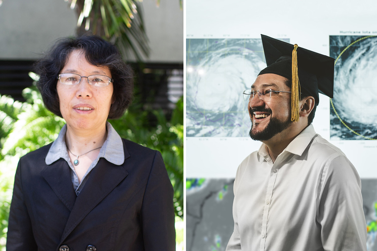 Jiang and Guzman. Their research, published in Nature Communications, was funded by the NSF, NOAA and NASA.
Theoretical computer models that scientists use to predict future outcomes have shown one likely scenario is future hurricanes will bring more rain. That is due in large part to global climate change — a warming planet plus warmer seas creates a warmer, more humid environment that feeds the creation of more hurricanes and also shoots more water vapor in the air, equaling more rain.
But Jiang and Guzman didn’t want to wait and see for the next storm to strike.
Combing through NASA satellite imagery from 1998 to 2016, they looked at a total of 2,000 storms in six major oceans. They found that the total precipitation rate had increased by one percent per year. This trend was even more pronounced in the northern hemisphere, including the North Atlantic.
Perhaps not surprisingly, rainfall has been increasing in the rainbands that wrap around the storm and can stretch outwards for hundreds of miles. While the inner core of the storm carries the most intense rainfall, those rainband regions are larger and more sprawling.
“One percent might not seem important," Guzman said. "But when you accumulate 20 years of that one perfect increase, it’s a huge and dangerous increase of water."
A dangerous increase of water because too much rain triggers dangerous flooding and landslides. As Guzman says, while most people might assume hurricanes are deadly because of high winds, the majority of hurricane-related deaths are associated with water. In coastal areas, where storm surge may already pose a threat, more water from rain poses even more concern.
That's why Jiang and Guzman are more determined than ever and ready for the next step of their research to continue improving hurricane rainfall predictions.
Against powerful storms, humans have a powerful tool — their ingenuity. More accurate positions don’t change the track of a storm but can offset some uncertainty and provide a clearer idea of possible impacts, so officials are better informed and equipped to issue evacuation or other warnings and even drain canals earlier — decisions that are very often lifesaving.